Description
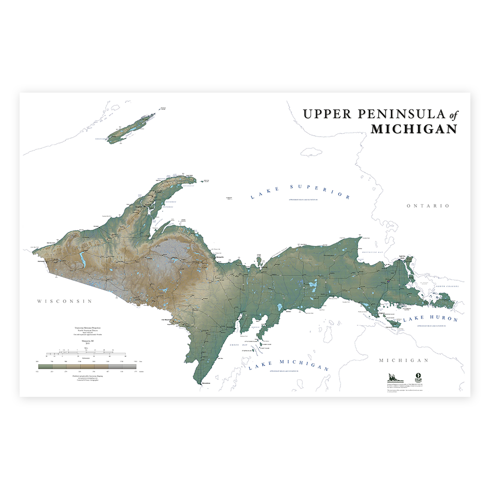
Know your Upper Peninsula geography. With this Upper Peninsula wall map you'll learn to pinpoint places such as Felch, Seul Choix Point, Neebish Island, and Daggett. It’s well known that each and every corner of the Upper Peninsula is beautiful and diverse in its own way. From the rugged Keweenaw Peninsula to the lake country of the Hiawatha and Ottawa National Forests, to Mackinac Island- the Upper Peninsula never disappoints with its stunning beauty and rural atmosphere. Now you can enjoy all that this wonderful landscape has to offer with Greenstone Mapping’s Upper Peninsula Landforms Map. This map was created to highlight the U.P. in a stunning 24 inch x 36 inch wall art map suitable for framing. It includes a unique blend of color-separated shaded relief images depicting elevation as well as major landforms (mountain ranges, peninsulas, peak elevations, etc...), roads (federal, state, and local roads), hydrologic features (rivers, lakes, great lakes, bays, passages, etc...) and cities. DIMENSIONS: 24”x36” SCALE: 1:625,000 PUBLICATION DATE: JUNE 2011
Maps are shipped rolled in cardboard tube.


